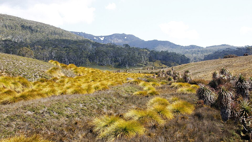
A favourite hike
The whole route on one tile, car park to hut.
Live preview from elevation data
A favourite hike, the family property, the mountain you grew up under. We print its real terrain as a solid object, up to 500 mm across.
The track you finished. The ridge you climbed. The paddocks you grew up in. We take the ground itself and print it, layer by layer, at true scale, into an object you can hold.
You choose and frame the place. We do the rest, and nothing is printed until you approve a proof.
Search a name or paste coordinates, set the area, size and finish.
Public elevation data for exactly that area: tens of thousands of measured heights.
Views of the crop, the height and the finish, with a price. Change anything first.
Layer by layer, finished and checked by hand, then packed to travel.
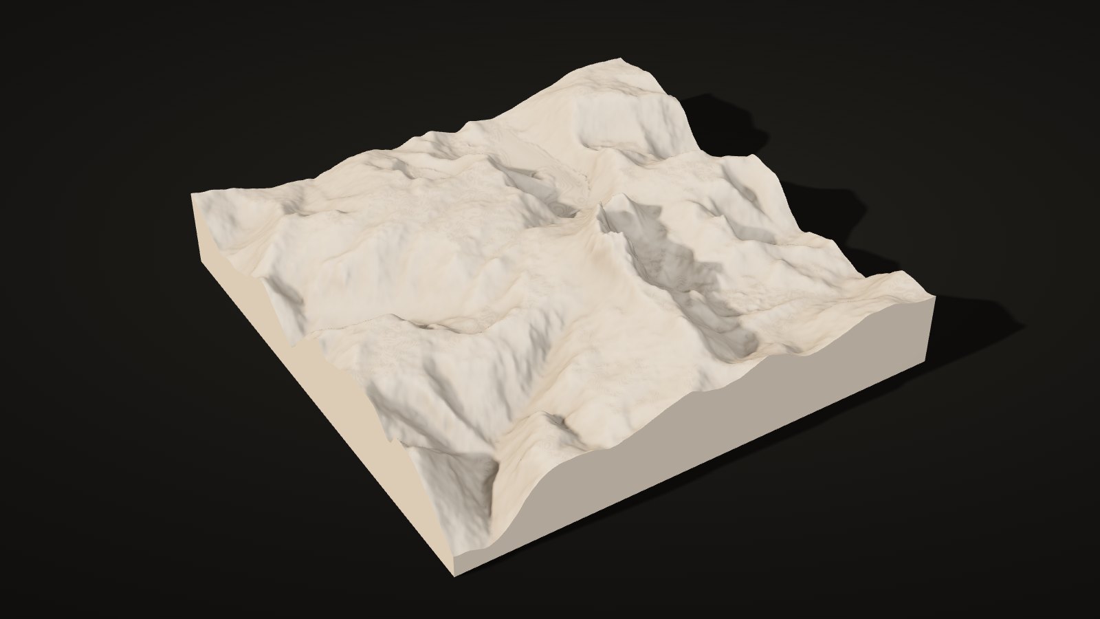
The same Cradle Mountain tile, from real elevation data. Drag across it to compare. Water prints flat and smooth: blue on topographic, the body colour on monochrome.
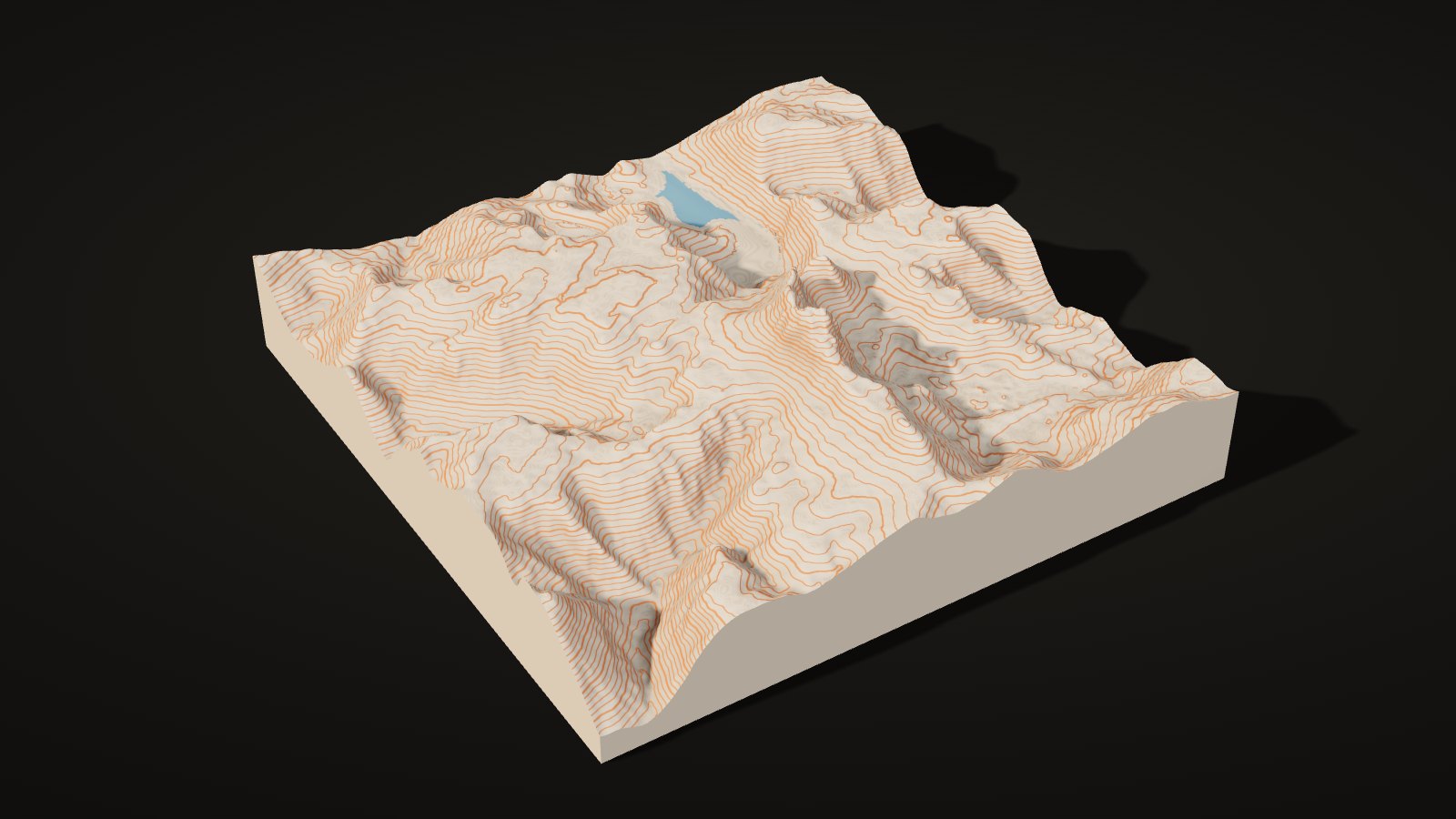
 Topographic
Monochrome
Preview from elevation data
Contour lines printed in a second colour, closer together or further apart as you like. A walking map you can hold.
One colour. Light across the surface does the work, so it sits quietly in a room.
Add a run, ride or walk from Strava, a GPX or drawn on the map: it is cut in as a channel and printed in its own colour. Or add a property line, found from the address and cut as a dashed groove.
Find the place, frame it, add a route or a boundary, and choose the size and finish. The price updates as you go, and you can order straight away.
Selected Cradle Mountain, Tasmania
Live elevation data could not load for this area. You can still order or request a quote; we prepare the model ourselves.
400 mm = 4 keyed tiles, 500 mm = 9. Larger? Custom sizing.
Lakes, rivers and sea print flat in blue, ironed smooth.
Search an address and we find the property boundary from the state land records.
Upload your Strava run, a GPX from any app, or draw the route.
The route is cut into the map as a channel. We print the route itself separately in its colour and press it in.
The same map made at 100 mm, sent in the same box. A gift for family or a second one for the office.
Includes tracked delivery in Australia. No GST is charged. Printed in matte PLA. We email a proof before printing.
Or request a quote firstBy buying you agree to our Terms of Sale. Made to order: full refund any time before you approve your proof. See our Privacy Policy for how we handle your details.
A solid map in matte material, with the terrain profile running down every edge. Small maps print in one piece; large ones as joined tiles.
100, 200, 400 or 500 mm across: square or round. Larger on request.
Solid material under the lowest point of the ground.
True vertical scale, or raised 1.5× or 2× for gentle country.
400 mm maps print as four tiles and 500 mm as nine, keyed together underneath and finished by hand.
Sizes, base and height options are proposed until confirmed.
A walk finished, a peak climbed, the land a family has worked for generations.
The whole route on one tile, car park to hut.
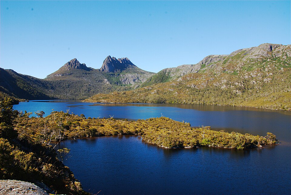
The peak and its lakes, at the scale you stood on them.
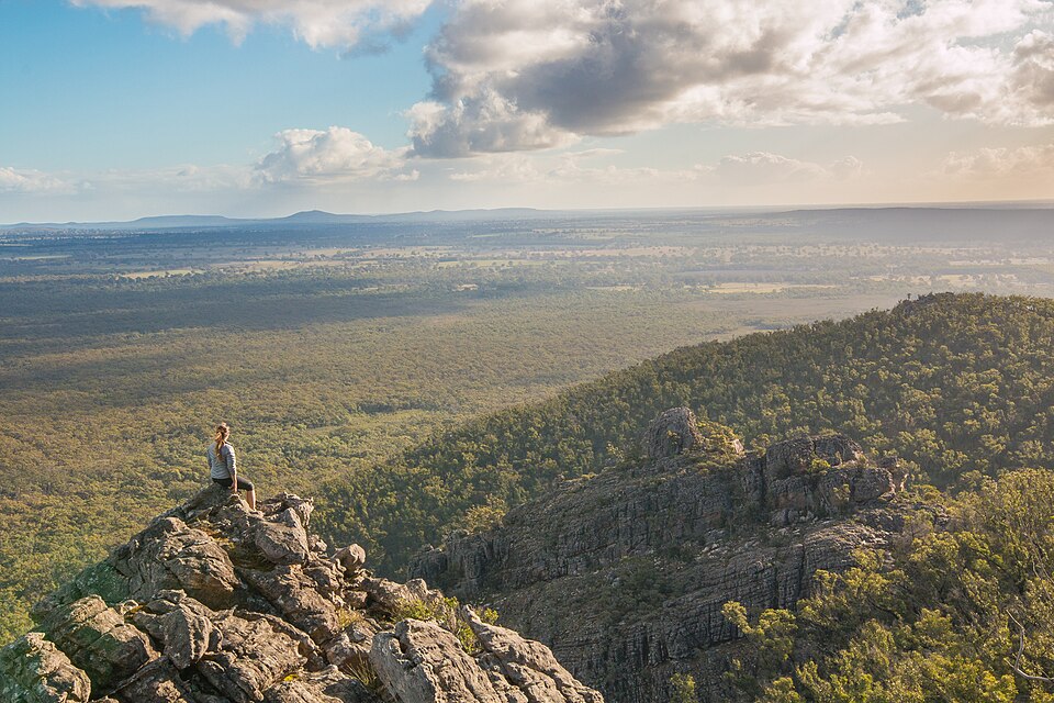
The hills behind the town, the creek, the lookout.
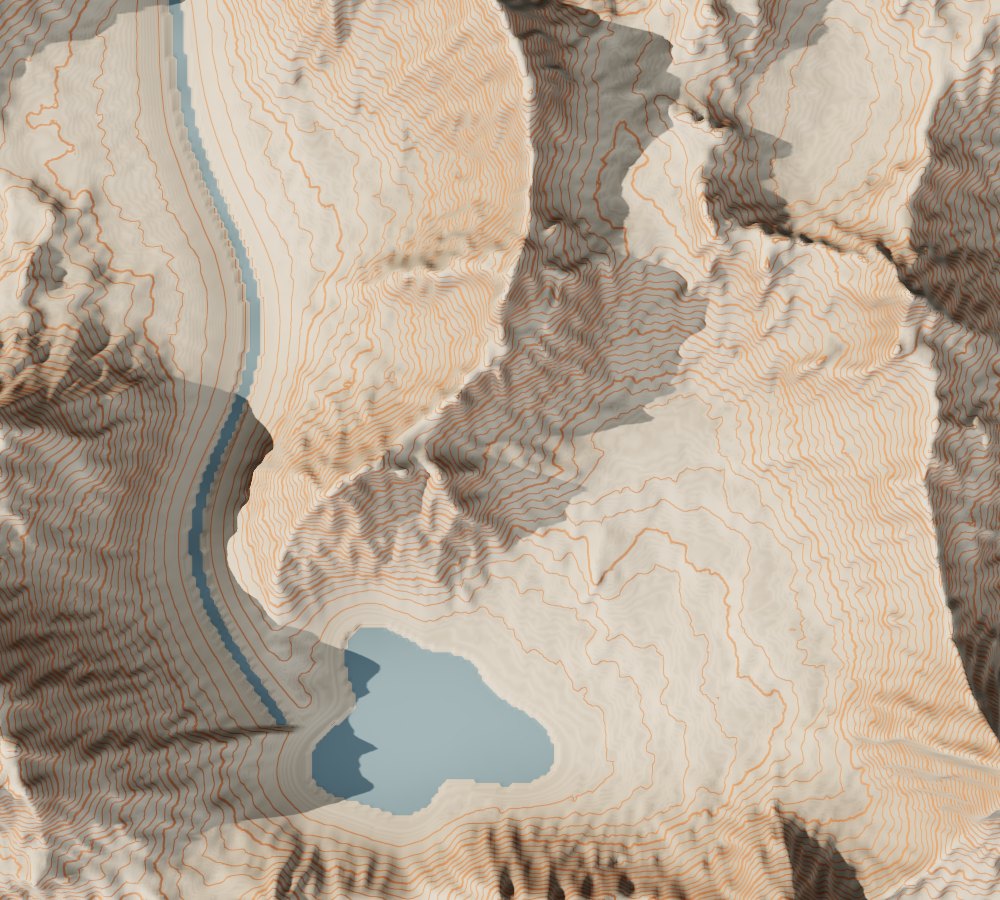 Concept render
Slopes, gullies and drainage in your hands, for planning or display.
Tell us where to reply. We send a price and a proof of your map. Nothing is made or charged until you approve it.
We use your details only to prepare your quote and make your map. See our Privacy Policy and Terms of Sale.
Reference . We reply by email with a price and a proof of your map. Nothing is made or charged until you approve the proof.
Prices, delivery times and turnaround are set per quote while we confirm our figures.
You frame a place here and send a request. We reply with a price and a proof showing your crop, height and finish. Once you approve it, we print, assemble, check and send it.
The map (joined tiles at 400 and 500 mm) on its solid base, with the place name and coordinates on a card. Mounting and display options are confirmed with your quote.
Public elevation data. The preview shows how much detail exists for your area; very small areas can look soft, and we tell you in the proof if that is the case.
We check the area, prepare the model and email you a price with proof views. You can change the crop, size or finish before approving. Nothing is charged until then.
Matte PLA, printed in layers. It’s made for indoors: keep it out of direct sunlight and away from heat, such as a sunny windowsill or a hot car, where it can soften or fade. Dust it with a soft dry brush. For an outdoor or sun-facing spot, ask us about a weatherproof print.
No. Locations you send stay between you and the studio and are used only to make your map. We never show a customer’s map publicly without written permission. Read our Privacy Policy.